Workshop
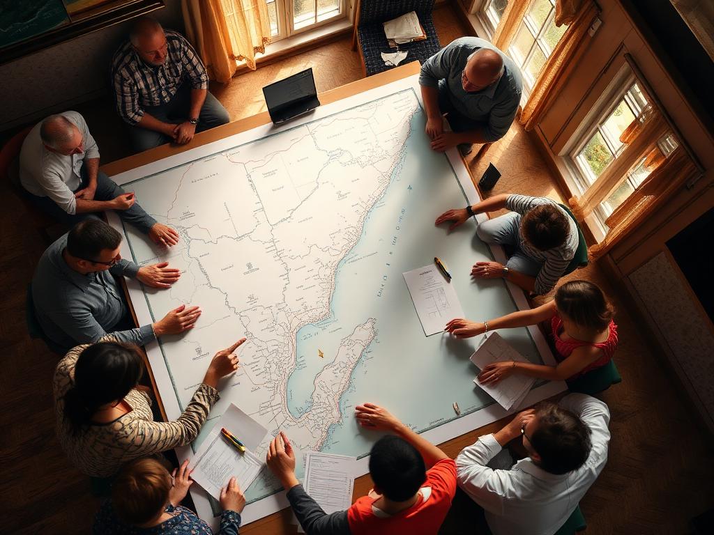
Fisherfolk gather in Cedros to map traditional fishing grounds
12 March 2026
Marine Spatial Plan · Gulf of Paria
A step-by-step process shaping how the Gulf of Paria is understood, used, and planned — with the people who live, work, and depend on it.
7,800
km² of Gulf waters
5
phases in the planning process
3
years from scoping to adoption
1
shared plan for everyone
What is MSP
Marine Spatial Planning is how communities, industries, and governments decide together what happens where in the ocean — so people, livelihoods, and ecosystems can thrive side by side. This plan is led by the Institute of Marine Affairs, funded by UNDP / GEF.
Bring together science, history, and lived knowledge of the Gulf as it's used today.
Fishers, shippers, communities, scientists, and government — every voice shapes the plan.
A shared map for the Gulf — coordinated, transparent, and built to evolve.
Where we are now
Marine Spatial Planning happens in clear, sequential phases. We're currently in stakeholder engagement — listening to communities, industries, and agencies before any lines are drawn on the map.
Scoping & baseline science
Complete
Stakeholder engagement
In progress
Draft plan & mapping
Up next
Public consultation
2026
Final plan & adoption
2027
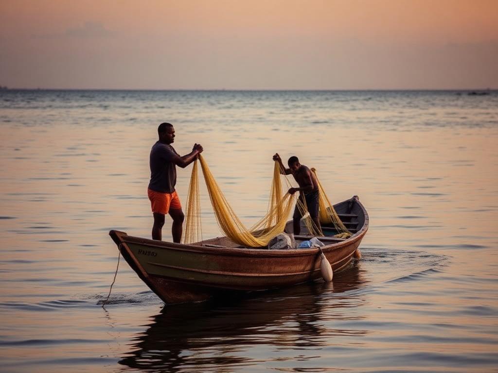
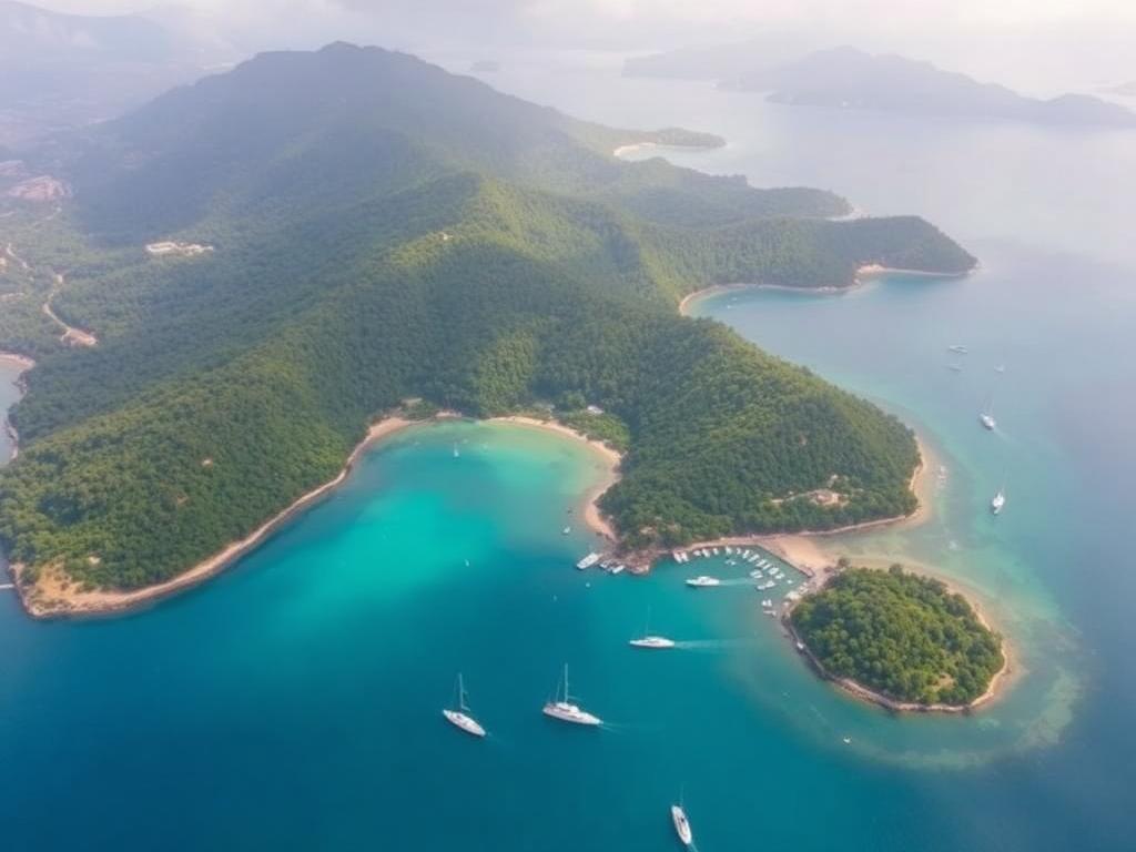
The Gulf of Paria
From small-scale fishers in Cedros to ports at Point Lisas, from mangroves and reefs to oil and gas operations — many people and uses share the same waters. Planning together is how we make sure it works for all of them, today and for generations to come.
Latest from the process
12 March 2026
04 March 2026
20 February 2026
Coming up
Public consultation · Chaguaramas waterfront
4–8 PM · Drop-in
Chaguaramas, Trinidad
Community workshop · San Fernando
6–8 PM
San Fernando Waterfront
Stakeholder briefing · Cedros depot
5–7 PM
Cedros, South Trinidad
Get involved
Submit feedback, anonymously or signed. Tell us what matters about the Gulf — fishing grounds, heritage sites, concerns, hopes.
Open the form
Drop into a public consultation or community workshop. No registration needed — just show up.
See the calendar
Subscribe to occasional updates — never more than once a month, never spam.
Subscribe below
Stay in touch
Get short, occasional updates as the plan develops. For partnerships, media, or general questions, the project team reads every message.
Email the team
msp@ima.gov.tt
Institute of Marine Affairs
Hilltop Lane, Chaguaramas
Common questions
Will my fishing grounds be off-limits?
No decisions have been made. The plan starts from what's already happening — including where you fish — and any changes are co-designed with the people affected.
How are decisions made?
Through layered consultation: technical studies, stakeholder workshops, public sessions, and a formal review before adoption.
Who runs this process?
The Institute of Marine Affairs, with funding from UNDP / GEF, in coordination with relevant ministries and agencies.